
The place
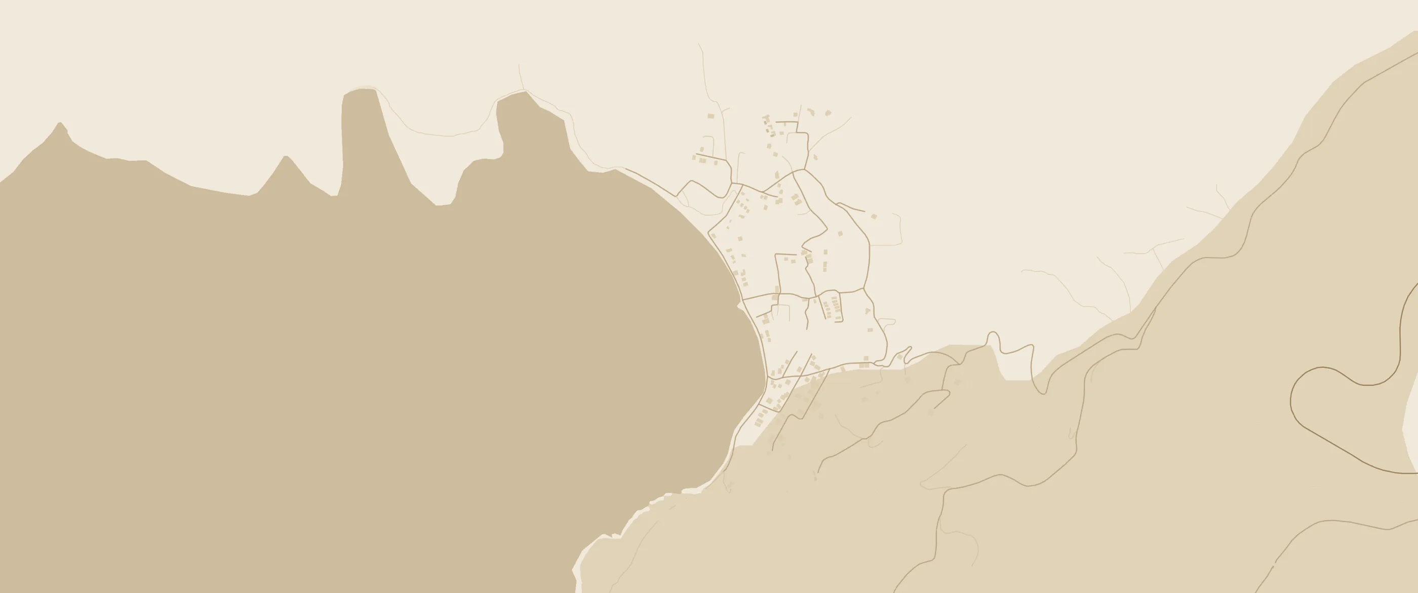
The village spreads around a cove of the Petalioi Gulf. Hills wrap around its back, small ravines run down to the fields by the shore, and the sea looks west, towards Attica.
Around fifty permanent residents, many more in summer. A sandy beach, a few lanes running down to the water, the chapels of Profitis Ilias, Agios Prokopis and Agios Ioannis, and on the northern hill an old, disused quarry. Nimporio is one of those places known mostly to the people who fell for it — and kept it quiet.
- Municipality
- Karystos, Evia
- Gulf
- Petalioi
- Across
- Marathon, Attica
- Neighbours
- Styra (NE), Marmari (SE)
- Residents
- 50 (2011 census)
- Position
- 38.1227° N, 24.2122° E
The bay right now
Today in Nimporio
loading…, source Open-Meteo
- Air—°feels —°
- Sea—°water
- Wind—Bft —, gusts —
- Waves—mperiod — s
- Humidity—%
- UV index—
- Sunrise—
- Sunset—
- Daylight—
- Golden hour—until sunset, the sun dropping towards Attica
The beach
Sand, shelter, clear water
Even in August, the meltemi rarely spoils a swim.
-
Sandy
Soft, golden sand — a favourite with families, small children and buckets.
-
Out of the wind
Low hills around the cove make it one of the most sheltered bays in South Evia.
-
Good for snorkelling
Calm, clear water shading from turquoise to deep blue, with fish, anemones and sea urchins.
-
No mass tourism
Few facilities and no crowds. Nimporio has kept its character.
A little history
From a “New Market” to a hideaway
- Antiquity
A land of stone
On the hill north of the cove lies a disused ancient quarry. South Evia has worked its stone since very early times.
- Byzantium
The name
Tradition says the name comes from “Neo Emporio” — the Byzantine word for a harbour, a place of trade.
- Until the 1950s
Orchards and a footpath
A poor farming and herding area, with a few stone huts for those who tended the orchards and for the odd fisherman. A footpath came down from Kapsala to the beach, between oleanders and myrtles, following the water of the mountain spring.
- Late ’50s – ’60s
The first “discoverers”
Nature lovers from Athens find the bay: sleeping in tents and sleeping bags, local wine, ouzo by the waves with octopus or fried okra, water drawn from the well.
- Later
The association
The residents’ cultural association brings electricity and telephone lines, drills a well for water and improves the road to Kapsala. Dance lessons, folk-art and photography shows take place in the courtyard of Profitis Ilias.
- Today
Quiet, as ever
About 50 permanent residents at the 2011 census, many more in the summer months. Part of the Municipality of Karystos; formerly of the Municipality of Styra.
Around the bay
Dragon houses, castles and harbours
The bay’s chapels
Profitis Ilias, Agios Prokopis, Agios Ioannis. The courtyard of Profitis Ilias hosted the village’s summer dances.
- N
The ancient quarry
Disused, on the hill north of the cove — a trace of very old work with stone.
- N
Nea Styra
The port facing Agia Marina and the nearest large resort. The road to Nimporio starts here.
- NE
Dragon Houses of Styra
Three megalithic buildings of huge stones set without mortar. Nobody knows for sure what they were for. After the dirt road, about 800 metres uphill on foot.
- NE
Styra & Armena Castle
The hill village with its stone-paved square and views over the gulf and islets; higher up, the ruins of the medieval castle.
- SE
Marmari
The port with ferries to Rafina, south of the bay.
- SE
Karystos & Mount Ochi
The municipal seat with its Castello Rosso, and above it Mount Ochi (1,398 m) with Evia’s best-known Dragon House.
- W
Marathon, across the water
On the other shore of the Petalioi Gulf. The port of Agia Marina is your gateway to the bay.
Getting here, about 2 hours from Athens
How to get here
- By road
Athens
Towards Marathon and the port of Agia Marina.
- Ferry, 45′
Agia Marina
Ferry to Nea Styra, with several crossings a day.
- By road
Nea Styra
South via Kapsala, then downhill to the cove.
- Arrival
Nimporio
Park the car, lose the shoes.
From RafinaFerry to Marmari, then north by road to the bay.
No ferryOver the Chalkida bridge and through central Evia — a much longer drive.
TimetablesCheck current Agia Marina – Nea Styra sailings at neastyraferries.gr before you set off.
How to spell it
One place, many names
- Nimporio
- Nimborio
- Nimporeio
- Niborio
- Νημποριό
- Νημπορειό
- Νιμπορειό
- Ανημπορειό
Every spelling points to the same bay in Evia. Not to be confused with the Nimborio (Emporios) harbours of Symi and Halki in the Dodecanese.
Questions
Before you go
How do I get to Nimporio from Athens?
Drive to the port of Agia Marina near Marathon, take the roughly 45-minute ferry to Nea Styra, then drive south via Kapsala down to the bay. About two hours in total. Alternatively, take the Rafina–Marmari ferry, or drive over the Chalkida bridge.
Is the beach good for children?
It is sandy and sheltered from the wind, which is why many families with small children choose it.
Does the meltemi blow here?
The cove is ringed by low hills and is one of the most sheltered in South Evia; even in August the meltemi rarely spoils a swim.
Is it Nimporio or Nimborio?
Both, and more: Nimporio, Nimborio, Nimporeio and Niborio all refer to the same bay. Not to be confused with the Nimborio (Emporios) harbours of Symi and Halki in the Dodecanese.
This guide is growing — photos, walks and places to stay are on the way.
Back to top ↑